


1863 Map of Florida & The Caribbean by Charles Copley
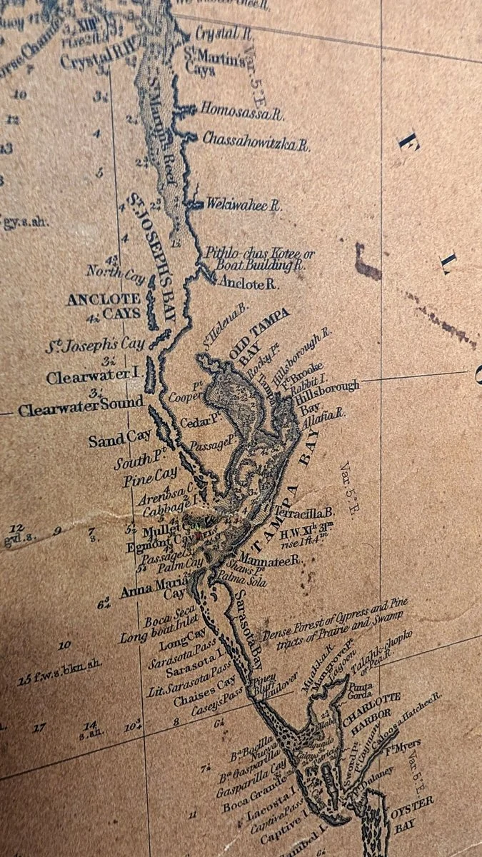
This is a fantastic large map of Florida, the Caribbean, and the West Indes by Charles Copley in 1863. It has been mounted and framed for ease of displaying but retains so much character from its well-used life. Every time I study this map, I find something else that drives me to research interesting stories, places, and people.
Dimensions:
74.5” W x 33.75” H
Condition: The map is in well-used condition. I acquired it from a man who told me his father’s friend had it aboard his ship and referred to it from time to time when traveling. It was used more as a tool than a precious antique. I prefer this “patina” over something that looks pristine.
Copley, Charles (1800 - November 17, 1880)
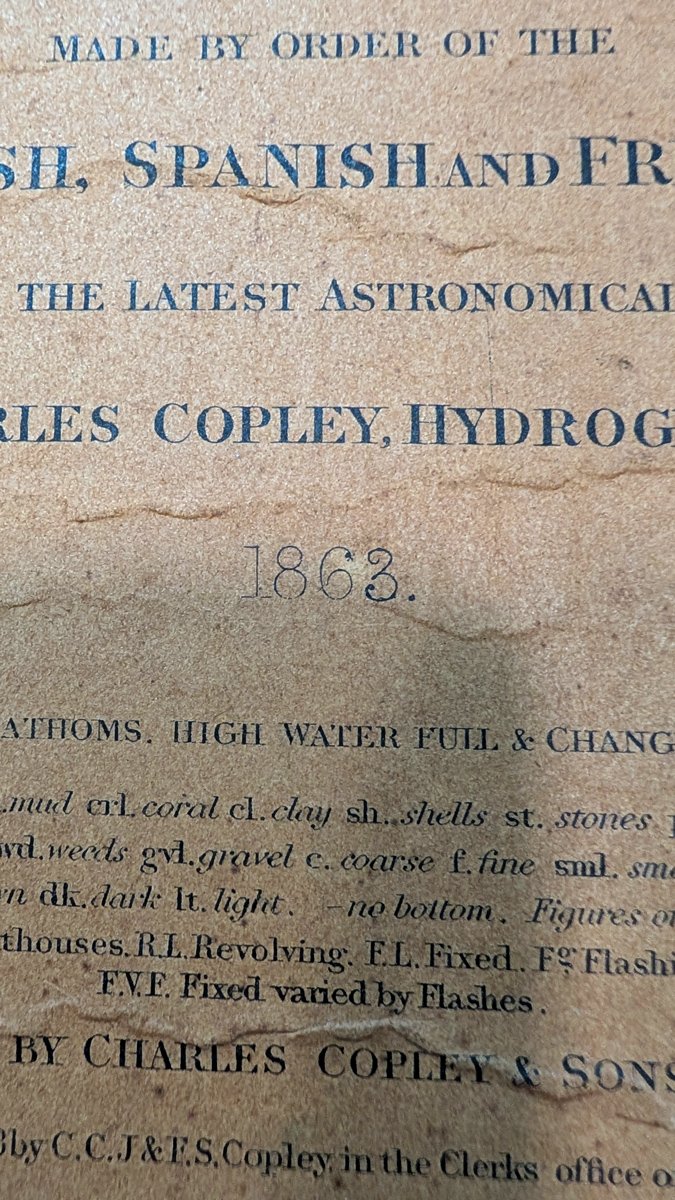
Charles Copley (1800 - November 17, 1880), was an American nautical chart and globe publisher based in Brooklyn, New York and active in the middle part of the 19th century. He was born in England and emigrated to the United States in the 1840s. He became a citizen in 1844. Charles Copley's earliest work is associated with the firm of E. and G. W. Blunt and his name appears as hydrographer or engraver on several of Blunt's c. 1840 charts – so he must have began working the Blunt shortly after emigrating. Around 1847 Copley began publishing independently, advertising himself as an engraver and map publisher. Most of his independent work was published in the 1850s. By 1860, the firm renamed itself Charles Copley and Son's, accommodating Charles John Copley Jr. (1826 - 18xx) and Frederick S. Copley (1827 - 18xx). From this point forward, most charts are copyrighted by 'C.C.J and F.S. Copley.' All Copley charts are extremely rare.
This excerpt from geographicus.com.